Ministry of Agriculture and Forestry
Tunceli, Şanlıurfa, Gaziantep, Mardin, Malatya, Diyarbakır, Şırnak
Adıyaman, Elazığ, Bitlis, Muş, Kahramanmaraş, Kilis, Bingöl, Ağrı,
Erzincan, Erzurum, Sivas, Kayseri, Kars, Iğdır, Van, Bayburt, Gümüşhane, Batman
Euphrates sub-basin is located on Eastern Anatolia with a catchment area around 122,000 km2. Project area partly or fully involves following districts of Turkey: Şanlıurfa, Gaziantep, Mardin, Diyarbakır, Şırnak, Adıyaman, Elazığ, Bitlis, Muş, Kahramanmaraş, Kilis, Malatya, Bingöl, Ağrı, Erzincan, Erzurum, Sivas, Tunceli, Kayseri, Kars, Iğdır, Van.


• Flood Risk Preliminary Assessment
• Hydrological modelling with HEC HMS
• Digital mapping by photogrammetric method using aerial photo
• 1-D and 2-D hydraulic modelling with HES-RAS 2D
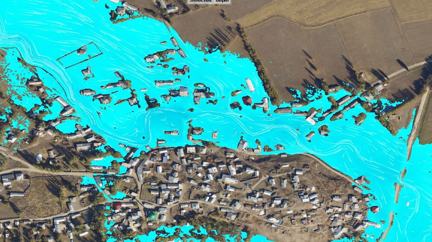
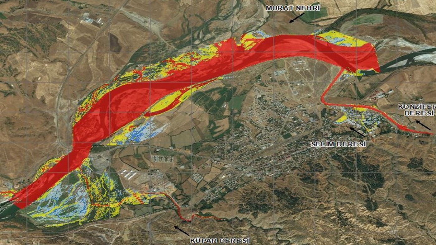
• Preparation of Flood Inundation and Hazard Maps
• Preparation of Risk Assessment Maps
• Preparation of Integrated Flood Management Plans
• Basin scale and province based emergency preparedness plans
• Constructing GIS database and web-based tool for project stakeholders
SUİŞ PROJE provides all engineering and consultancy services from collecting main information such as mapping, geological, foundation and material survey, project design, feasibility (planning), preparation and evaluation of contract documents, contractor selection and construction technical supervision.
Copyright © 2024 SUİŞ Proje All rights reserved.