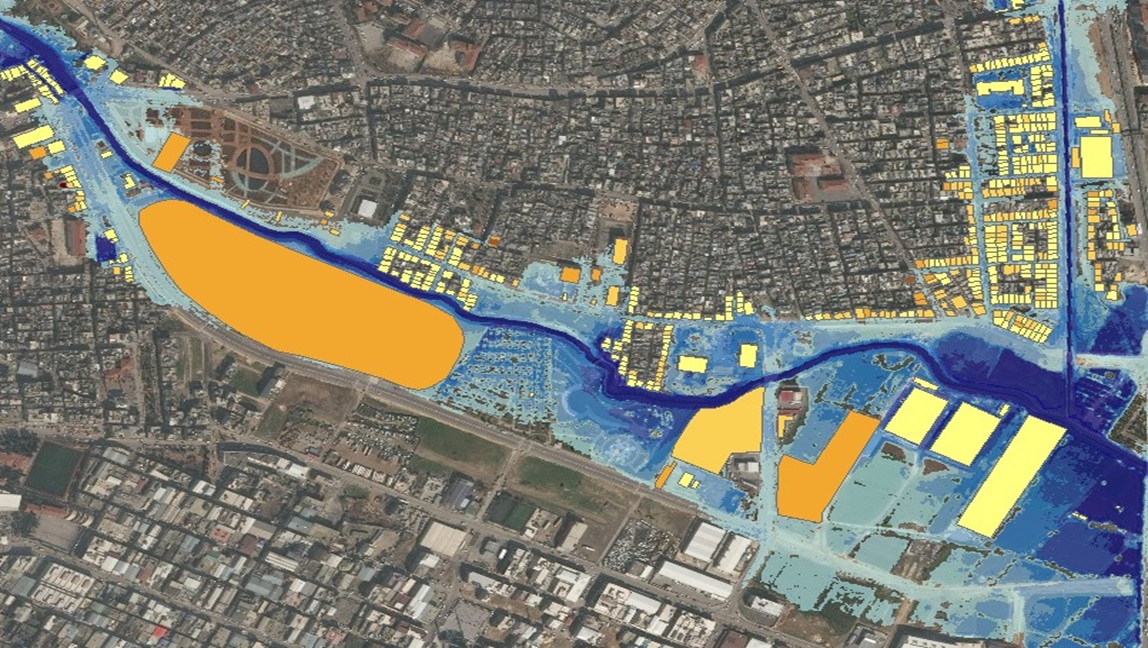
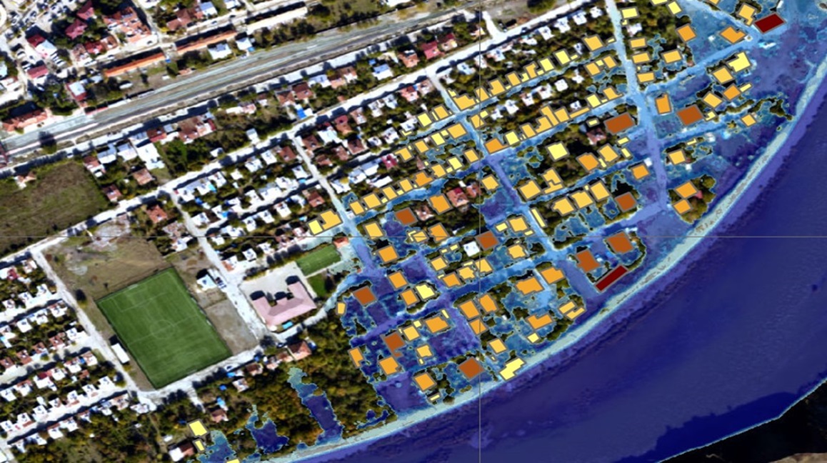
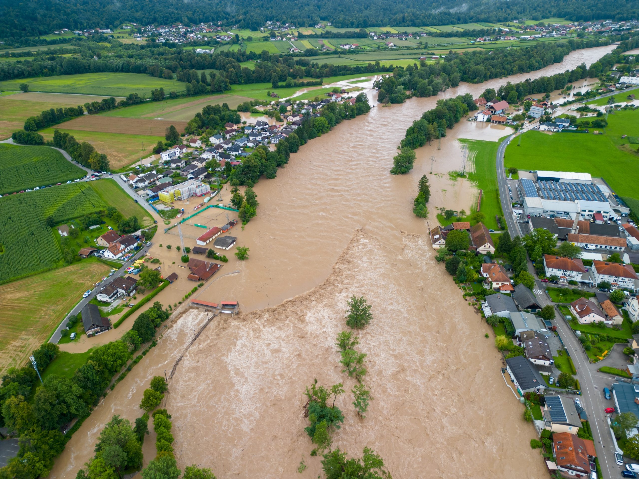
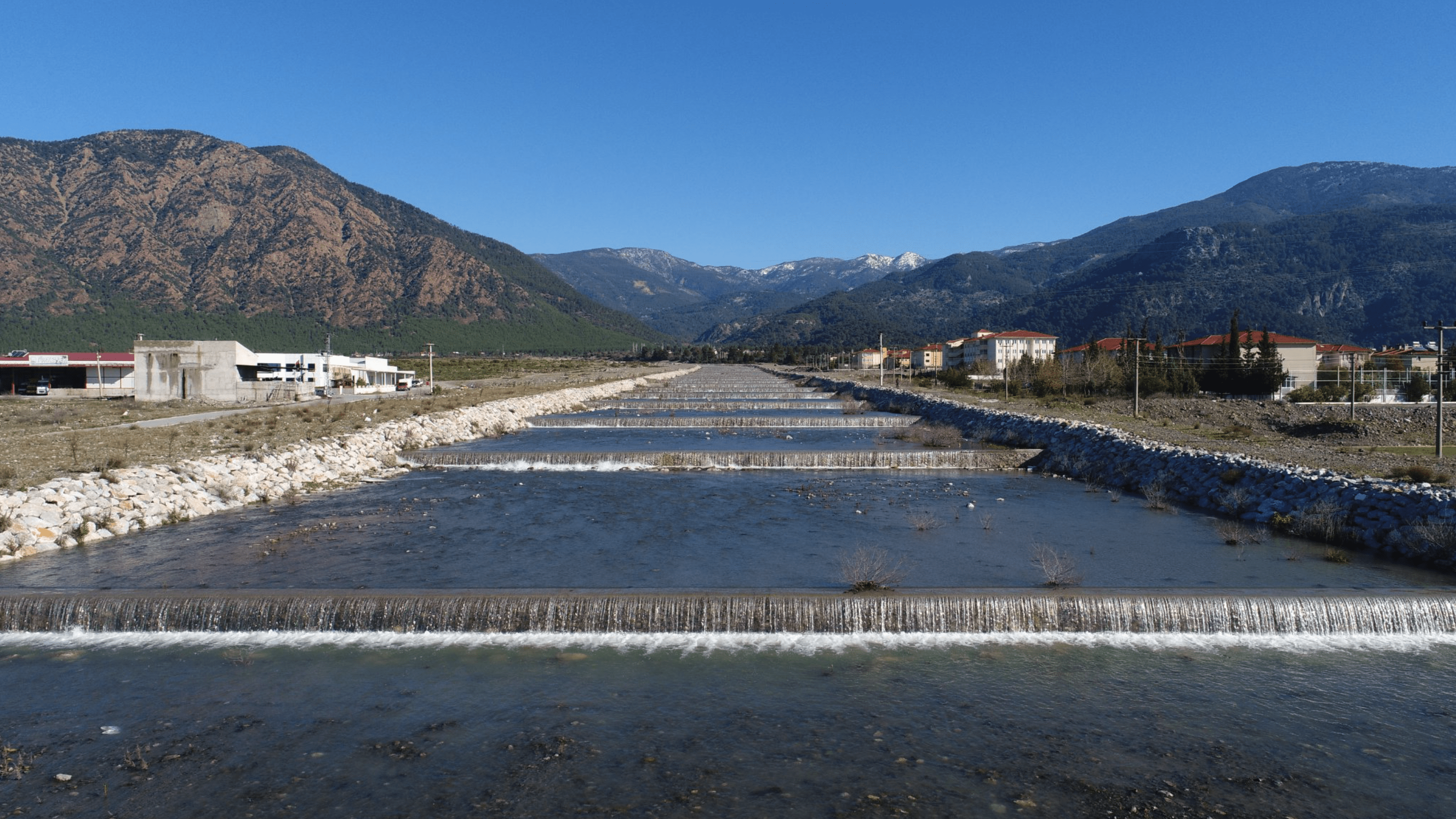
Precautions have been determined for potential flood disasters in the Antalya Basin.
CLIENT :
Ministry of Agriculture and Forestry
LOCATION :
Antalya, Isparta, Burdur
Flood Management Plans for Antalya Basin
Antalya basin located in southern Anatolia with a with a catchment area around 20,250 km2. Project area partly or fully cover following districts of Turkey: Antalya, Isparta and Burdur. The project is designed to assist the Ministry of Forestry and Agriculture and other stakeholders in the implementation of the EU acquits by providing support in the legal and institutional areas, as well as implementing concrete requirements of the Flood Directive, in particular of the capacity building and strategy development instruments. The aim of the project is to establish a framework for the assessment and management of flood risks to reduce the negative consequences of flooding on human health, economic activities, the environment and cultural heritage in the Antalya Basin.