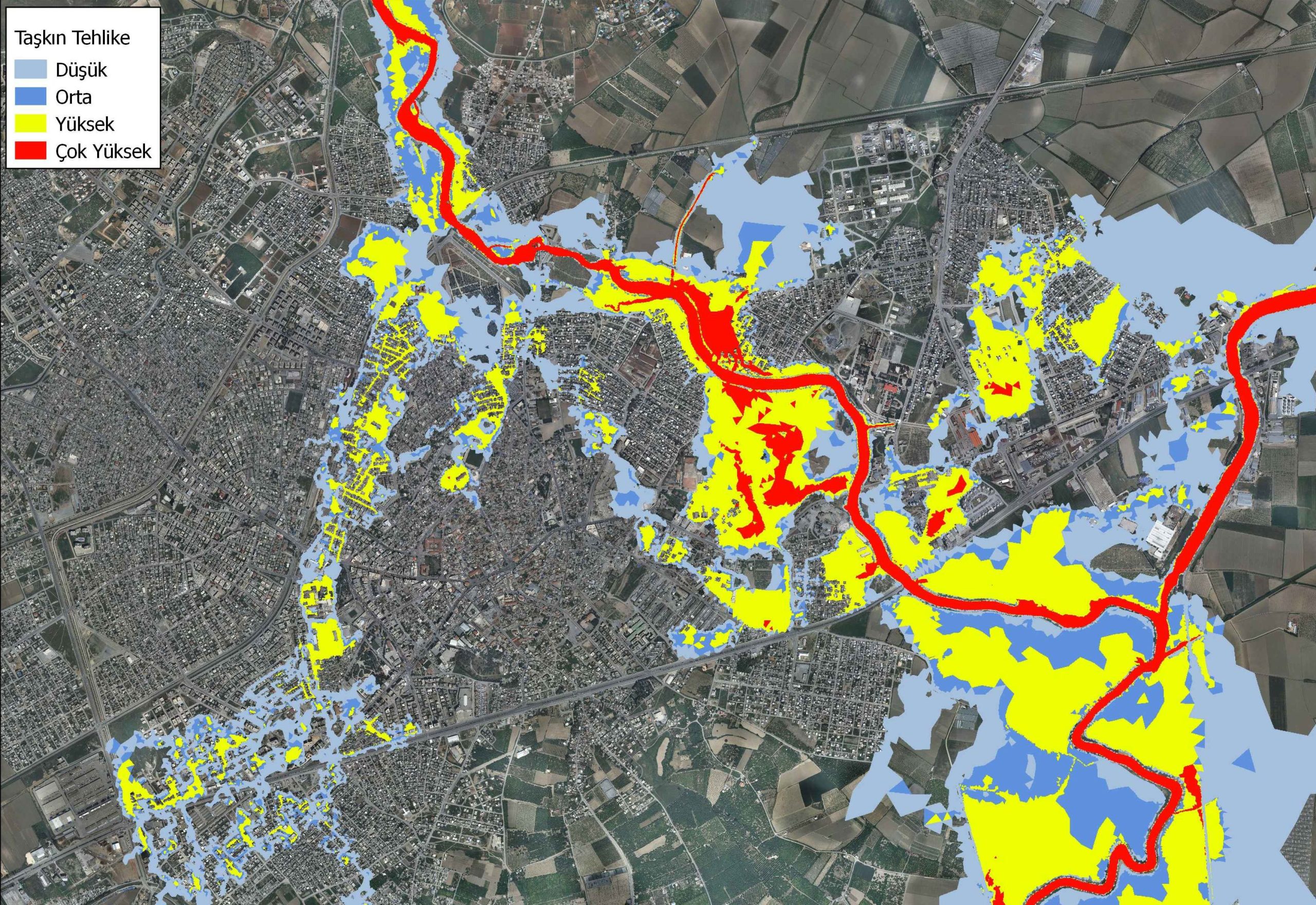
Flood risk studies have been conducted on the mythological Kydnos River.
CLIENT :
General Directorate of State Hydraulic Works
LOCATION :
Mersin
Flood Hazard Maps for Berdan River
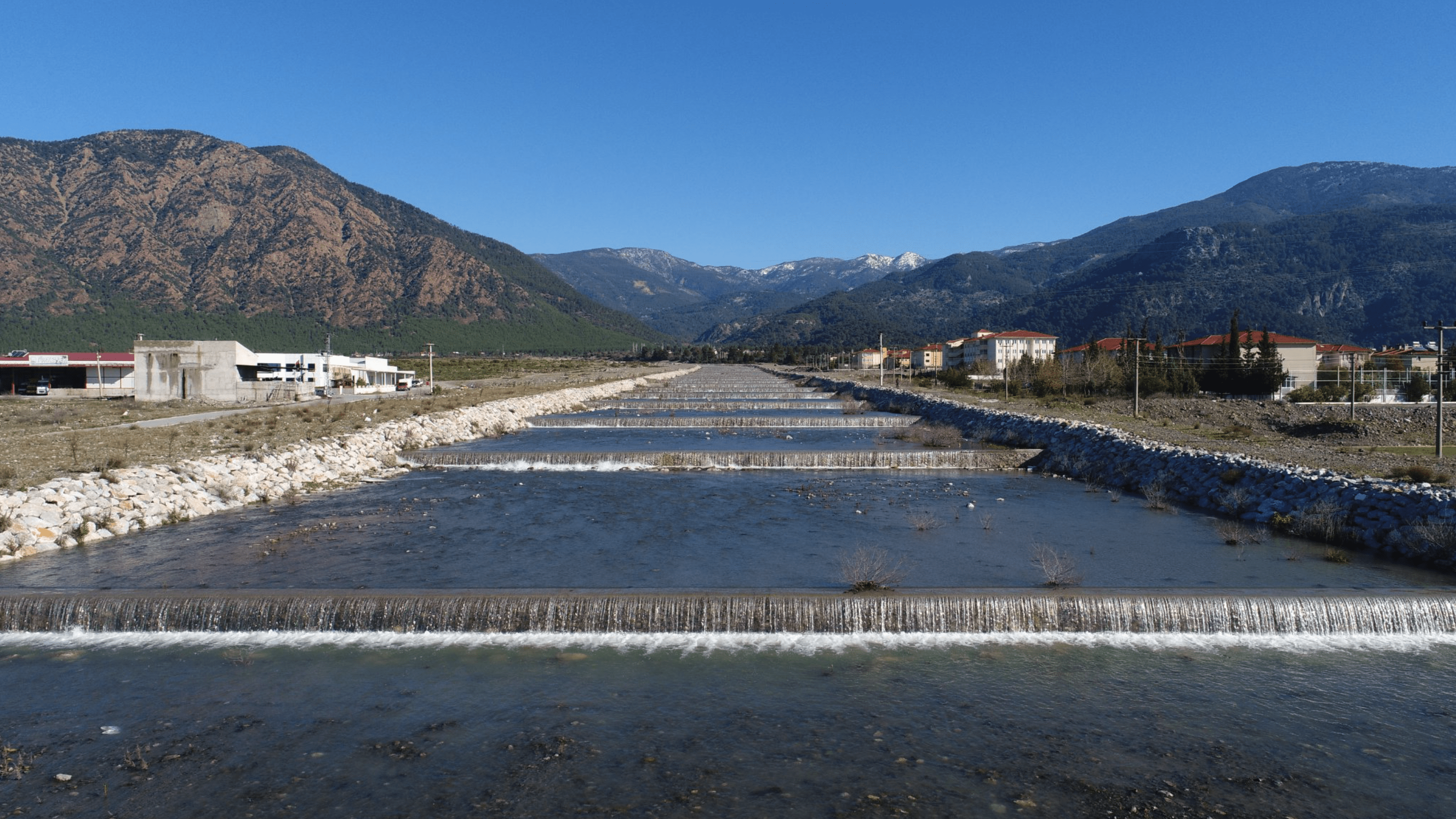
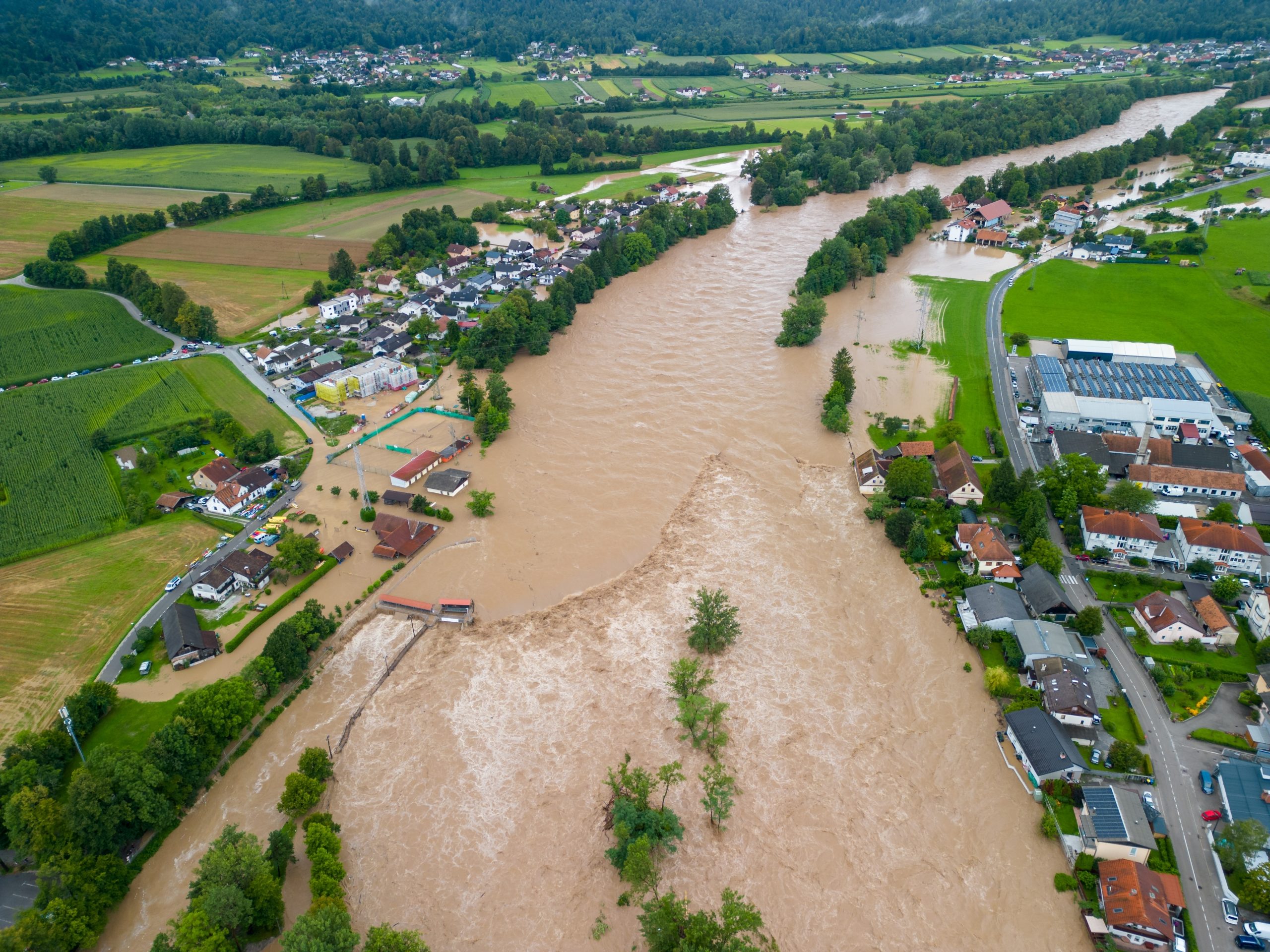
Berdan river is located in Southern Anatolia. Berdan Dam is constructed upstream of Tarsus town and Berdan river runs through the settlement and discharges to Mediterranean Sea, following a 15 km reach crossing irrigation and tourism area. The project aims preparation of flood hazard maps for Berdan main reach and its tributaries. 2-D hydraulic modeling is used for determination of flooded lands for different frequency floods
Services Provided
• Flood hydrology • Aerial mapping • 2-D flood hydraulics by RiverFlow-2D software • Dam safety assessment • Dam break analysis/dam safety management plan • Emergency preparedness plan for Tarsus town and downstream • Constructing GIS database